Parcel Mapping
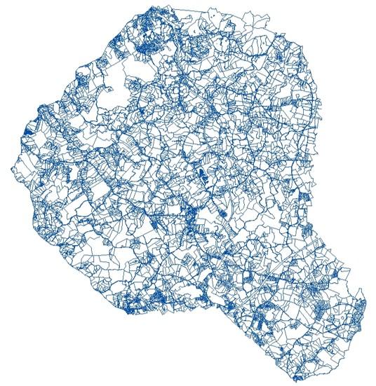
Working closely with the Tax Assessor’s Office, the GIS Department works all recorded deeds for ownership changes and draws the property lines based on a recorded deed and/or a recorded plat for the County. The computer-based technology allows us to visualize these property lines with the click of a mouse. The GIS Department maintains the property line data and creates the tax maps annually for each year's tax digest.
Residents can access the parcel mapping and property records with an online site through qPublic.net. The online parcel mapping site allows you to review parcels, sales, flood plains, rivers and streams, soil reports, highways and aerial photos of properties within Banks County. See link below.