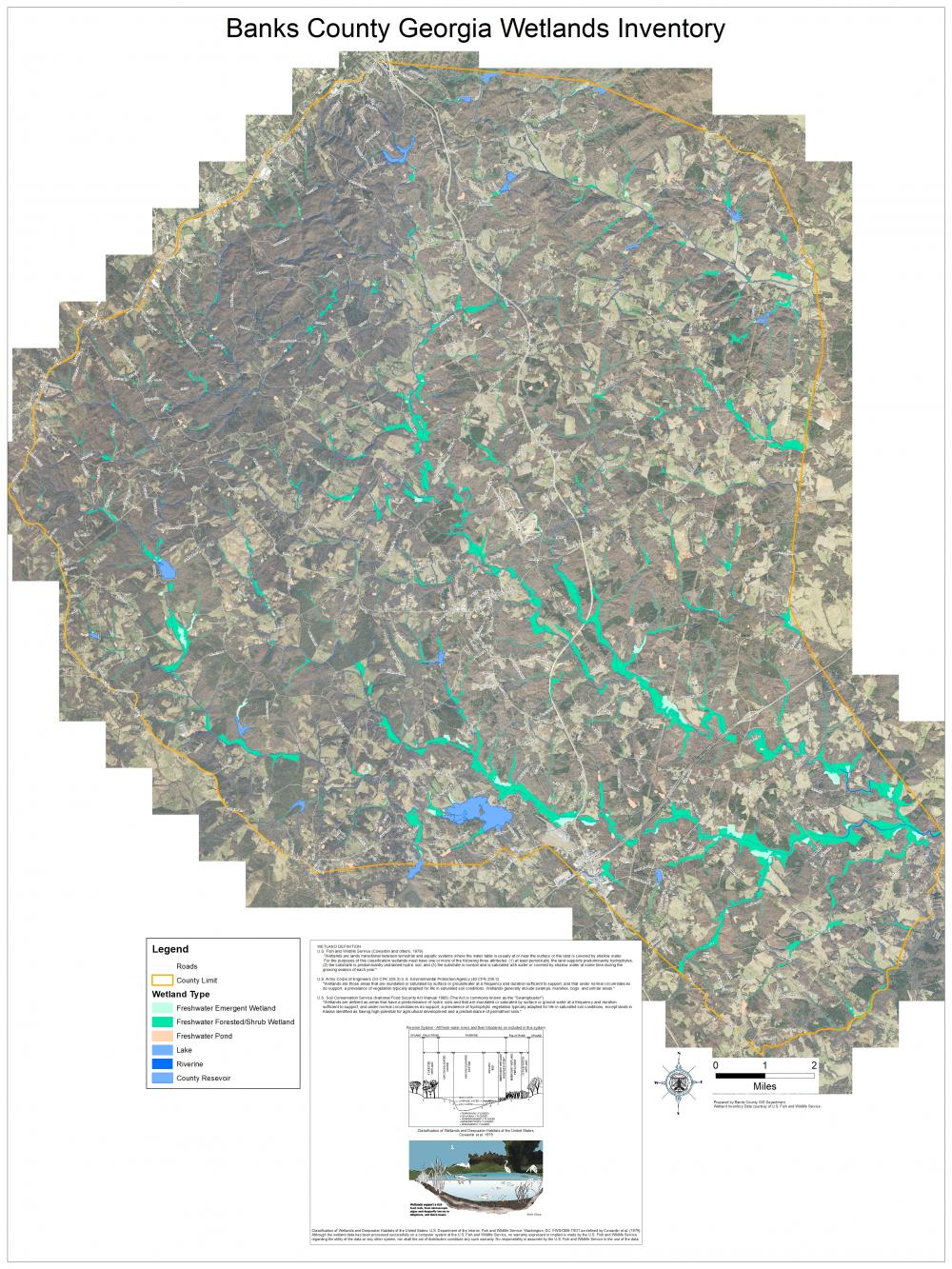
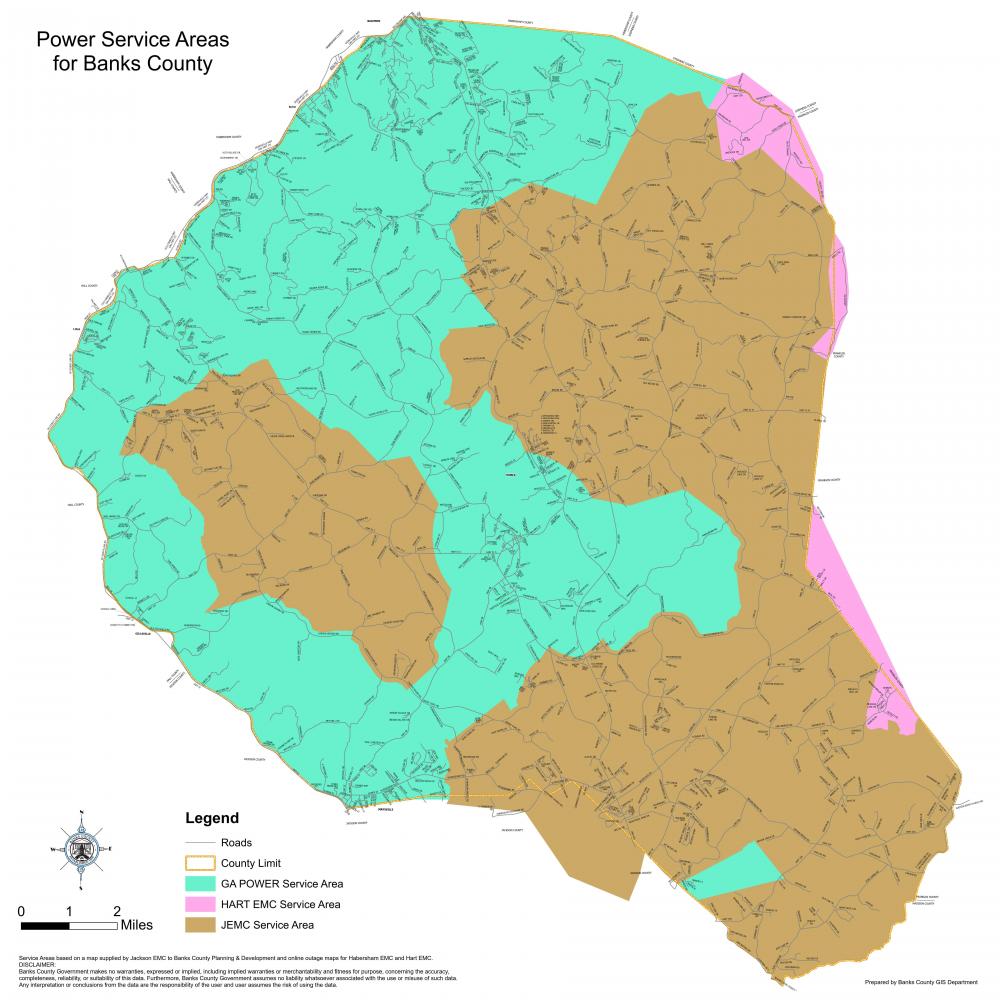
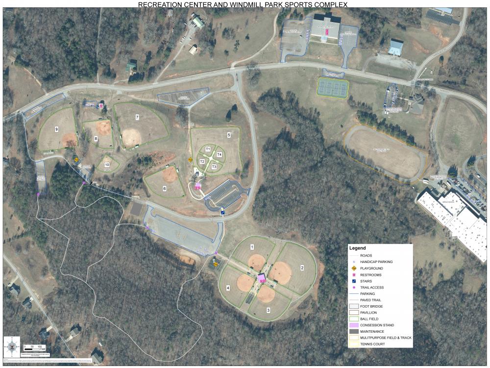
General Mapping
The GIS Department creates, maintains and publishes all sorts of data for creating maps used by Banks County Departments and public alike. Maps are made of layers and layers of data put together for a common purpose or theme. The Data layers are used for E911 dispatching, analysis and for making maps. GIS can make flood zone maps, topographic maps, parcel maps, district maps, damage assessment maps, to name a few. GIS also maintains and prints the Banks County road map books and wall maps used by Banks County Public Safety services, Road Department, and other County Departments; these maps are available for sale to the public. Check the map fee schedule to learn more.
We are only limited by our imagination when it comes to mapping something.
Below are examples of the types of maps the GIS Department has done.